The winds have shifted, blowing the ash plume and smoke to the North of us. The sun even peeked out for a while.

And right before the winds shifted, and picked up, there was a quiet period where it looked like snow, and some more piled up on the cars.
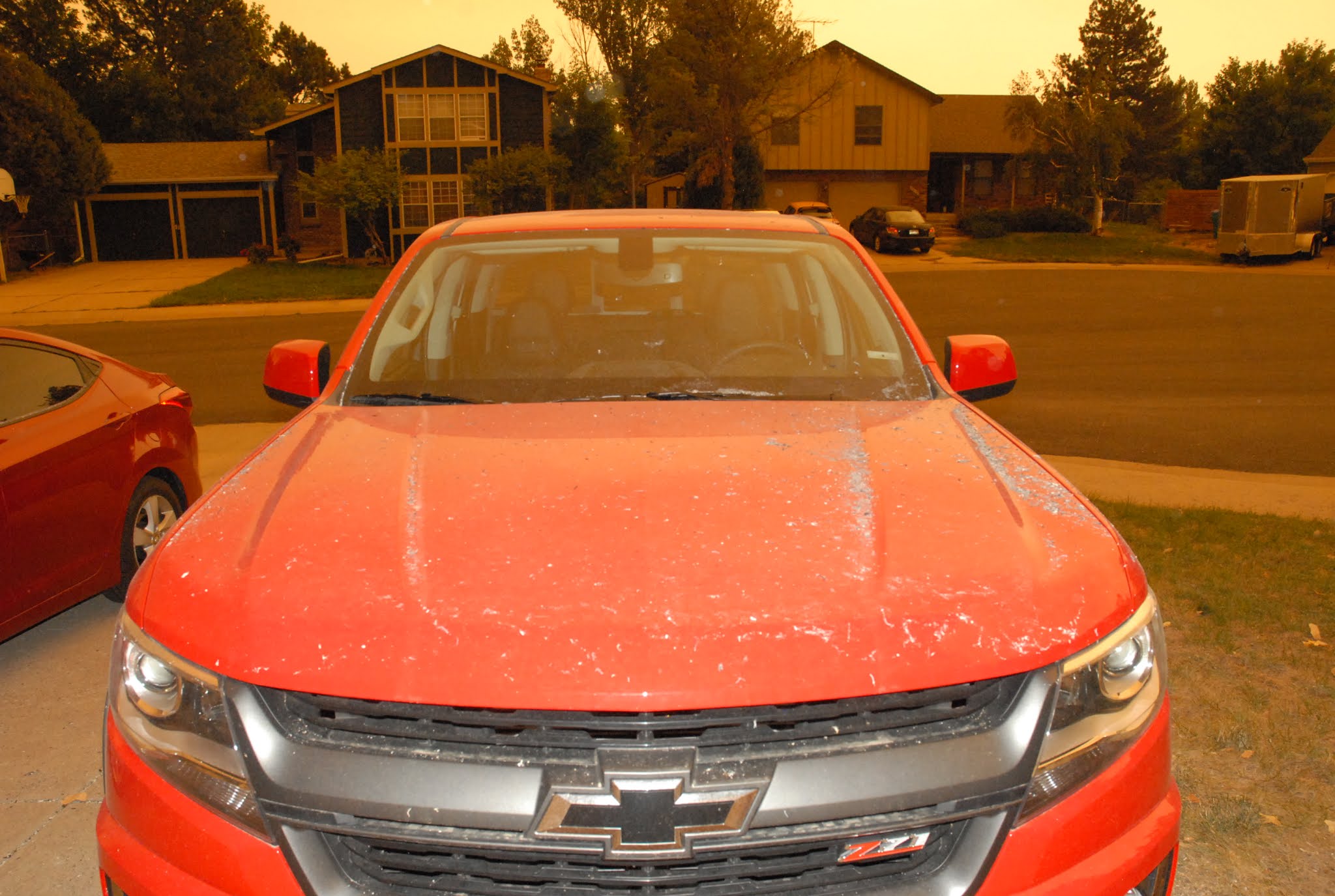

Now it's all blown away. A large amount came in the garage, but SLW and I swept it all out, and I moved things around, so she could get her little car inside for the night.
This was the fire map as of this morning:

This the most recent map:

The map below shows the current burn area in black, and yesterday's burn area in white. It really blew-up overnite.

The winds have picked up some more, the temperature is down to 64*, and the barometer is climbing. NWS is predicting heavy, wet snow, with accumulations of 2"~6" here in the foothills, and 8"~18" in the mountains. It probably won't stick around much past Wednesday, but the forecast is for a 40%~50% chance of rain here in the foothills.


Glad you're safe!
ReplyDeleteVery... Vesuvius.
The smoke was unpleasant, but not nearly as bad for us as for the poor people living there.
DeleteWill keep you in my prayers. God bless.
ReplyDeleteThank you, Linda.
DeleteAs of 2200, temperature is 54° with a stiff wind but no precipitation.
ReplyDelete48* here, 75%RH, winds from the North at 4MPH, with gusts to 14MPH. Forecast low of 31*. It usually gets a few degrees cooler here than down at the airport by The Ranch.
DeleteLight snow and rain here. Both the CDOT and WYDOT websites show snow on the roads north of I-70. Hope it knocks down the fires.
DeleteAs of 1500 local time, it's 34*, 94%RH, winds from the East at 4MPH with gusting to 12MPH.
DeleteWe've had 1/2" of rain, and got several inches of snow.
That 'might' save the firefighters... If that thing gets a running start, Fort Collins could be history!
ReplyDeleteThe fire has blown out to over 103,000 acres, and is now the largest fire ever in Larimer County.
DeleteThe fire area received about an inch of snow last night, along with about 1/2" of rain. The wetness is expected to continue through Friday.
I haven't read anything yet about the effects of the rain and snow.